The Department of Fisheries and Oceans has closed a number of salmon pools on the Miramichi River due to low water levels and high temperatures.
The 15 fishing areas are being closed to prevent anglers from wading around in cold water pools where salmon are seeking refuge from warmer parts of the river.
The president of the New Brunswick Salmon Council said wading is stressful for the fish. John Bagnall goes on to say that the entire river could be closed to fishing if things don’t improve.
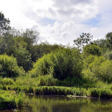
Keith Wilson of Wilson’s Sporting Camps (whom we credit for the above photograph) commented this week: “The water is still low. Things have improved a bit with the recent light rain and cooler temps but we are in desperate need of a few good rains to soak the ground and bring the river and water table back up to normal. We have a bunch of salmon in our cold-water holding pools but they are not taking of course. It looks like a good weekend to get caught up on your chores around the house so you are ready to go just as soon as the river improves. One of the most memorable weeks of fishing we had here in the last twenty years was immediately following a low water period like this one year in August when a cool rain brought the river up ten inches and all the fish moved.”
The closures are:
• Confluence of Salmon Brook and Cains River, and the waters of Salmon Brook upstream from its Confluence with the Cains River to South Cains River Road;
• Confluence of Otter Brook and Cains River;
• Confluence of Sutherland Brook and Northwest Miramichi River, and Sutherland Brook upstream to the Highway 420;
• Confluence of Butty’s Brook and Renous River, and the waters of Butty’s Brook from its confluence with the Renous River to South Renous Road;
• Waters of the Southwest Miramichi River in Quarryville, 300 metres upstream and 300 m downstream of the Quarryville Bridge, including Indian Town Brook from its confluence with the Southwest Miramichi River, upstream to Highway 108 bridge;
• Confluence of Wilson Brook and Southwest Miramichi River, including the waters of Wilson Brook upstream 100 m of its mouth;
• Waters of the Southwest Miramichi River surrounding the pump house located at N 46.86483, W 65.67698 (WGS 84);
• Confluence of Gray Rapids Brook and Southwest Miramichi River, and the waters of Gray Rapids upstream from its confluence with the Southwest Miramichi River to Route 118;
• Confluence of Morse Brook and Southwest Miramichi River, and the waters of Morse Brook upstream from its confluence with the Southwest Miramichi River to Howard Road;
• Confluence of Black Brook and Southwest Miramichi River, and the waters of Black Brook upstream from its confluence with the Southwest Miramichi River to South Cains River Road;
• Confluence of Donnelly Brook and Southwest Miramichi River, and the waters of Donnelly Brook upstream from its confluence with the Southwest Miramichi River to the South Road Bridge;
• Confluence of Betts Mills Brook and Southwest Miramichi River, and the waters of Betts Mills Brook upstream from its confluence with the Southwest Miramichi River to Highway 8;
• Confluence of Porcupine Brook and Southwest Miramichi River, and the waters of Porcupine Brook upstream from its confluence with the Southwest Miramichi River to Story Town Road;
• Confluence of Big Hole Brook and Southwest Miramichi River;
• Confluence of Mill Brook and Southwest Miramichi River.

